WEkEO 4 Coastal Interactions


WEkEO Use Cases

Examples of how coastal issues are studied through the WEkEO platform

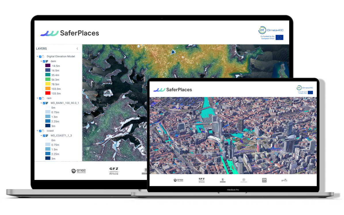
SaferPlaces

Is your city prepared to adress the risk of floods ?

Nowadays due to increasing anthropogenic pressure, such as soil sealing in cities and increase occurrence in extreme weather events, cities have been experiencing more and more severe flooding from different sources of hazard such as fluvial, pluvial and coastal.  SaferPlaces provides incredible insights for flood risk anticipation in any city, worldwide.
More info
COVERAGE

Enabling the widespread use of satellite and in-situ ocean data

COVERAGE (CEOS Ocean Variables Enabling Research and Applications for GEO) is an initiative born to demonstrate the value of new data infrastructures to improve access across agency repositories and support ocean science and marine resource management.
More info

EUMETSAT

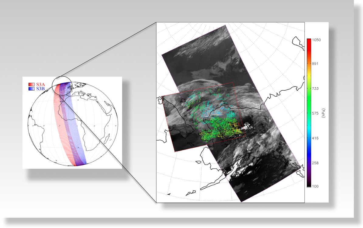
Estimating wind from Sentinel-3 to improve weather forecasts

Numerical models used for weather forecasts need continuous ingestion of observations of current weather status to provide reliable estimates. One technique to estimate atmospheric wind is through the computation of Atmospheric Motion Vectors (AMVs).
More info