Examples of how Land data is used through the WEkEO platform
SaferPlaces
Is your city prepared to address the risk of floods?
SaferPlaces allow to visualize flood risk and impact in a Digital Twin of the city.
More info
Murmuration
Measuring the environmental impact of tourism using indicators
Murmuration generates environmental indicators to monitor the local impact of tourism activities.
More info
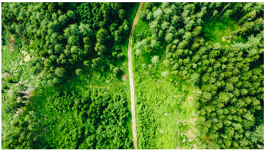
HR-VPP
New HR Vegetation Phenology and Productivity service
The new High Resolution Vegetation Phenology and Productivity (HR-VPP) service enables better monitoring of vegetation dynamics and assessment of climatic and anthropogenic impacts on ecosystems.
More info
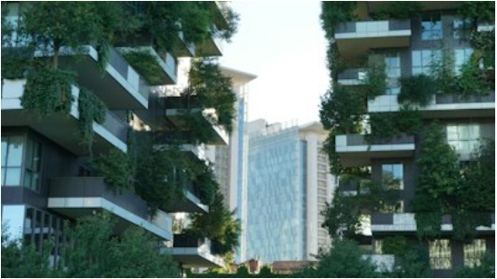
CURE
Copernicus for Urban Resilience in Europe
Copernicus for Urban Resilience in Europe (CURE) project leverages on Copernicus and local data to offer an online system with 11 integrated applications to support sustainable and resilient urban planning and development.